Mount Kashimayari
Appearance
| Mount Kashimayari | |
|---|---|
| 鹿島槍ヶ岳 | |
 Mount Kashimayari seen from Ōmachi | |
| Highest point | |
| Elevation | 2,889 m (9,478 ft)[1] |
| Listing | |
| Coordinates | 36°37′28″N 137°44′49″E / 36.62444°N 137.74694°E[2] |
| Naming | |
| Language of name | Japanese |
| Geography | |
| Location | Toyama Prefecture, Nagano Prefecture, Japan |
| Parent range | Hida Mountains |
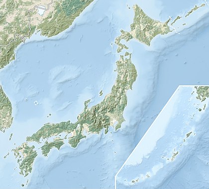
Mount Kashimayari (鹿島槍ヶ岳, Kashimayari-ga-dake) is a peak in the Hida Mountains range of the Japanese Alps at 2889m, located in Kurobe and Tateyama, Toyama and Ōmachi, Nagano, central Honshu, Japan.[3] It is part of Chūbu-Sangaku National Park[4] and is the second highest peak of the Ushirotateyama mountain range.[5][6]
References
- ^ "基準点成果等閲覧サービス". 国土地理院. Retrieved 2013-04-19.
- ^ "日本の主な山岳標高(富山県・長野県)". 国土地理院. Retrieved 2013-04-19.
- ^ 新日本山岳誌 (2005)、886-887頁
- ^ "中部山岳国立公園の区域図" (PDF). 環境省. Retrieved 2013-04-19.
- ^ 日本の山1000 (1992)、384-385頁
- ^ 日本三百名山 (1997)、151頁
