Deir Khabiyah: Difference between revisions
Content deleted Content added
Aemilius 04 (talk | contribs) ←Created page with '{{Infobox settlement <!--See the Table at Infobox Settlement for all fields and descriptions of usage--> <!-- Basic info ----------------> | official_name...' |
Aemilius 04 (talk | contribs) No edit summary |
||
| Line 23: | Line 23: | ||
| pushpin_map_caption = Location in Syria |
| pushpin_map_caption = Location in Syria |
||
<!-- Location ------------------> |
<!-- Location ------------------> |
||
| coordinates = {{coord|33| |
| coordinates = {{coord|33|22|1|N|36|9|36|E|region:SY|display=inline,title}} |
||
| subdivision_type = Country |
| subdivision_type = Country |
||
| subdivision_name = {{Flag|Syria}} |
| subdivision_name = {{Flag|Syria}} |
||
Revision as of 05:43, 24 October 2017
Deir Khabiyah
دير خبية | |
|---|---|
Village | |
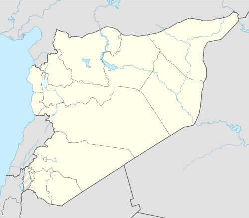 Deir Khabiyah Location in Syria | |
| Coordinates: 33°22′1″N 36°9′36″E / 33.36694°N 36.16000°E | |
| Country | |
| Governorate | Rif Dimashq |
| District | Markaz Rif Dimashq |
| Subdistrict | Al-Kiswah |
| Population (2004) | |
| • Total | 4,350 |
| Time zone | UTC+2 (EET) |
| • Summer (DST) | UTC+3 (EEST) |
| City Qrya Pcode | C2287 |
Deir Khabiyah (Arabic: دير خبية) is a Syrian village located in Markaz Rif Dimashq, Rif Dimashq. According to the Syria Central Bureau of Statistics (CBS), Deir Khabiyah had a population of 4,350 in the 2004 census.[1]
References
- ^ "General Census of Population 2004". Retrieved 2017-10-20.
|   | ||||||||||||||||||
|
| |||||||||||||||||||
| |||||||||||||||||||
| |||||||||||||||||||
| |||||||||||||||||||
| |||||||||||||||||||
| |||||||||||||||||||
| |||||||||||||||||||
| |||||||||||||||||||