Guajará: Difference between revisions
Content deleted Content added
Rescuing 1 sources and tagging 0 as dead. #IABot (v1.3beta3) |
m clean up, replaced: List of countries| → List of sovereign states| using AWB |
||
| Line 14: | Line 14: | ||
|pushpin_map_size = 250 |
|pushpin_map_size = 250 |
||
|pushpin_map_caption = Location in Brazil |
|pushpin_map_caption = Location in Brazil |
||
|subdivision_type = [[List of |
|subdivision_type = [[List of sovereign states|Country]] |
||
|subdivision_type1 = [[Regions of Brazil|Region]] |
|subdivision_type1 = [[Regions of Brazil|Region]] |
||
|subdivision_type2 = [[States of Brazil|State]] |
|subdivision_type2 = [[States of Brazil|State]] |
||
| Line 46: | Line 46: | ||
{{reflist}} |
{{reflist}} |
||
{{Municipalities of Amazonas}} |
{{Municipalities of Amazonas}} |
||
{{DEFAULTSORT:Guajara}} |
{{DEFAULTSORT:Guajara}} |
||
[[Category:Municipalities in Amazonas (Brazilian state)]] |
[[Category:Municipalities in Amazonas (Brazilian state)]] |
||
{{AmazonasBR-geo-stub}} |
{{AmazonasBR-geo-stub}} |
||
Revision as of 01:01, 14 January 2018
Guajará | |
|---|---|
 Location of the municipality inside Amazonas | |
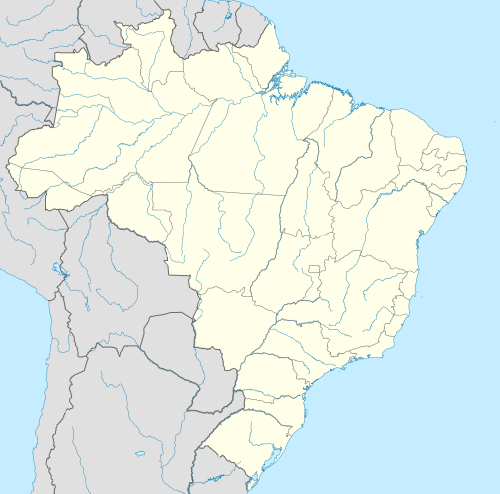 Guajará Location in Brazil | |
| Coordinates: 7°32′45″S 72°35′2″W / 7.54583°S 72.58389°W | |
| Country | |
| Region | North |
| State | |
| Time zone | UTC−4 (BRT) |
| • Summer (DST) | UTC−4 (DST no longer used) |
Guajará (Guanjeras) is a municipality located in the Brazilian state of Amazonas. Its population was 12,066 in 2005 and its area is 8,904 km².[1]
References
- ^ IBGE - "Archived copy". Archived from the original on 2008-06-11. Retrieved 2007-02-20.
{{cite web}}: Unknown parameter|deadurl=ignored (|url-status=suggested) (help)CS1 maint: archived copy as title (link)
Capital: Manaus | ||||||||||||||
| Mesoregion Centro Amazonense |
|  | ||||||||||||
| Mesoregion Norte Amazonense |
| |||||||||||||
| Mesoregion Sudoeste Amazonense |
| |||||||||||||
| Mesoregion Sul Amazonense |
| |||||||||||||
This article about a location in the Brazilian state of Amazonas is a stub. You can help Wikipedia by expanding it. |