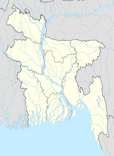
Gouripur Union
Appearance
Gouripur Union
গৌরীপুর ইউনিয়ন | |
|---|---|
| Coordinates: 23°32′28″N 90°47′08″E / 23.541142°N 90.785653°E | |
| Country | |
| Division | Chittagong |
| District | Comilla |
| Upazila | Daudkandi |
| Area | |
| • Total | 8.40 km2 (3.24 sq mi) |
| Population (2001) | |
| • Total | 30,300 |
| Time zone | UTC+6 (BST) |
| Postal Code | 3517 |
| Website | gouripurup |
Gouripur Union (Bengali: গৌরীপুর ইউনিয়ন) is a union parishad under Daudkandi Upazila of Comilla District in the Chittagong Division of eastern Bangladesh.[1]
References
- ^ Tasin Jobayer (2023). "Daudkandi Upazila". In Islam, Sirajul; Jamal, Ahmed A. (eds.). Banglapedia: National Encyclopedia of Bangladesh (2nd ed.). Asiatic Society of Bangladesh.
