Jamaica Channel
| Jamaica Channel | |
|---|---|
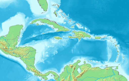
 The northern Caribbean showing in red the location of Jamaica Channel. | |
 Jamaica Channel | |
| Coordinates | 18°09′41.5″N 75°17′13.6″W / 18.161528°N 75.287111°W |
| Basin countries | United States Jamaica Haiti |
The Jamaica Channel is a strait separating the islands of Jamaica and Hispaniola, in the Caribbean Sea.[1] Along with the Windward Passage to its north. Due to its location about 1,000 kilometres (620 mi) north-east of the Panama Canal, it is a main sea lane through which vessels with Pacific Ocean destinations sailing from the eastern seaboards of the United States and Canada, as well as from Europe, frequently pass.[1]
The strait is about 190 kilometres (120 mi) wide with depths of up to 1,200 metres (3,900 ft).[2]
Navassa Island
Located in the strait about 55 km (34 mi) west of Haiti is Navassa Island, an uninhabited and disputed island measuring 5.2 km2 (2.0 sq mi).
References
- ^ a b CIA World Factbook.
- ^ The Earth and the Ocean Basins, eScholarship.org.