Lehtmetsa, Harju County
Lehtmetsa | |
|---|---|
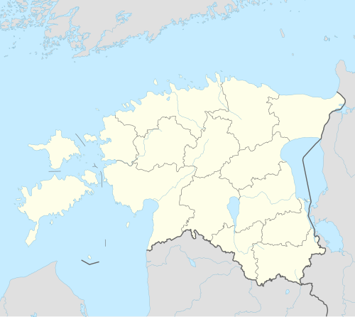 Lehtmetsa Location in Estonia | |
| Coordinates: 59°19′25″N 25°20′49″E / 59.32361°N 25.34694°E | |
| Country | |
| County | |
| Municipality | |
| Area | |
| • Total | 1 km2 (0.4 sq mi) |
| Highest elevation | 53.5 m (175.5 ft) |
| Lowest elevation | 44.5 m (146.0 ft) |
| Population (2020)[1] | |
| • Total | 626 |
| • Density | 630/km2 (1,600/sq mi) |
| Ethnicity (2011) | |
| • estonians | 79.4% |
| • other | 20.6% |
| Time zone | UTC+2 (EET) |
| • Summer (DST) | UTC+3 (EEST) |
| Postal Codes | 74310 |
Lehtmetsa is a village in Anija Parish, Harju County, Estonia, just south of the town of Kehra.[3]
The village is situated on the left bank of the Jägala river.
As of August 1, 2020, the village had a population of 626.[1]
History
The apartment buildings in the village were built between 1972-1988.[4]: 65, 173, 290, 364, 452
The local sovkhoz opened kindergarten Lepatriinu on March 1, 1980. It is currently operated by Anija parish.[4]: 388–394
Social care home Kehra Kodu was opened in 2012.[5][6]
References
- ^ a b "Meie külad". Anija valla külade nimekiri. Anija vald. Archived from the original on 2021-01-11.
- ^ "RL004: EESTLASTE ARV JA OSATÄHTSUS ELUKOHA (ASULA) JÄRGI, 31. DETSEMBER 2011".
- ^ Classification of Estonian administrative units and settlements 2014[dead link] (retrieved 27 July 2021)
- ^ a b Miidla, Ants (2014). Kehra Lood (in Estonian). Kehra: MTÜ Kehra Raudteejaam. ISBN 978-9949-33-520-6.
- ^ "Kehra Kodu sai valmis". Sõnumitooja (in Estonian). 2012-08-14. Retrieved 2021-02-04.
- ^ "Kehra Kodu". Hoolekandeteenused (in Estonian). Retrieved 2021-02-04.
Further reading
- Miidla, Ants (2014). Kehra Lood (in Estonian). MTÜ Kehra Raudteejaam. ISBN 978-9949-33-520-6.
External links
| Town |  | |
|---|---|---|
| Borough | ||
| Villages | ||
This Harju County location article is a stub. You can help Wikipedia by expanding it. |