Ploumilliau: Difference between revisions
Content deleted Content added
m →External links: move commons template |
JJMC89 bot (talk | contribs) Migrate {{Infobox French commune}} coordinates parameters to {{Coord}}, see Wikipedia:Coordinates in infoboxes |
||
| Line 4: | Line 4: | ||
|image = Chapelle Saint-Cado de Ploumilliau 01.JPG |
|image = Chapelle Saint-Cado de Ploumilliau 01.JPG |
||
|image coat of arms = Blason de la ville de Ploumilliau (Côtes-d'Armor).svg |
|image coat of arms = Blason de la ville de Ploumilliau (Côtes-d'Armor).svg |
||
| |
|coordinates = {{coord|48.6808|-3.5228|format=dms|display=inline,title}} |
||
|longitude = -3.5228 |
|||
|INSEE = 22226 |
|INSEE = 22226 |
||
|postal code = 22300 |
|postal code = 22300 |
||
Revision as of 05:30, 30 January 2017
Ploumilliau
Plouilio | |
|---|---|
 | |
 Coat of arms | |
Location of Ploumilliau  | |
 Ploumilliau 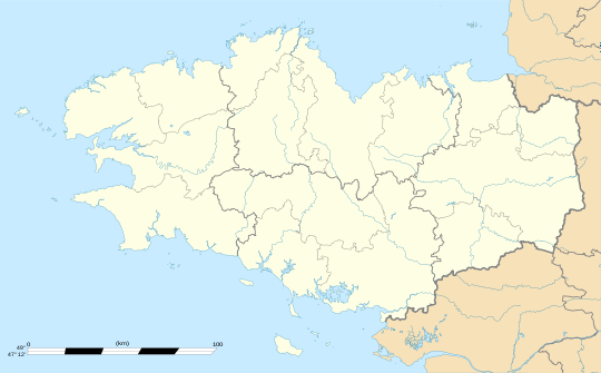 Ploumilliau | |
| Coordinates: 48°40′51″N 3°31′22″W / 48.6808°N 3.5228°W | |
| Country | France |
| Region | Brittany |
| Department | Côtes-d'Armor |
| Arrondissement | Lannion |
| Canton | Plestin-les-Grèves |
| Intercommunality | Lannion Trégor |
| Government | |
| • Mayor (2014–2020) | Marcel Prat |
| Area 1 | 34.69 km2 (13.39 sq mi) |
| Population (2008) | 2,534 |
| • Density | 73/km2 (190/sq mi) |
| Time zone | UTC+01:00 (CET) |
| • Summer (DST) | UTC+02:00 (CEST) |
| INSEE/Postal code | 22226 /22300 |
| Elevation | 0–133 m (0–436 ft) |
| 1 French Land Register data, which excludes lakes, ponds, glaciers > 1 km2 (0.386 sq mi or 247 acres) and river estuaries. | |
Ploumilliau (Breton: Plouilio) is a commune in the Côtes-d'Armor department of Brittany in northwestern France.
Population
Inhabitants of Ploumilliau are called milliautais in French.
Breton language
The municipality launched a linguistic plan through Ya d'ar brezhoneg on December 12, 2006.
See also
References
External links
Wikimedia Commons has media related to Ploumilliau.
This Côtes-d'Armor geographical article is a stub. You can help Wikipedia by expanding it. |