Ramkrishnapur, Bishnupur: Difference between revisions
Content deleted Content added
No edit summary Tags: Mobile edit Mobile web edit |
No edit summary Tags: Mobile edit Mobile web edit |
||
| Line 1: | Line 1: | ||
{{Infobox settlement |
{{Infobox settlement |
||
| name = Ramkrishnapur |
| name = Ramkrishnapur |
||
| other_name = |
| other_name = |
||
| nickname = |
| nickname = |
||
| settlement_type = Census Town |
| settlement_type = Census Town |
||
| image_skyline = |
| image_skyline = |
||
| image_alt = |
| image_alt = |
||
| imagesize = 300px |
| imagesize = 300px |
||
| image_caption = |
| image_caption = |
||
| pushpin_map = India West Bengal#India |
| pushpin_map = India West Bengal#India |
||
| pushpin_label_position = |
| pushpin_label_position = |
||
| pushpin_map_alt = |
| pushpin_map_alt = |
||
| pushpin_mapsize = 300 |
| pushpin_mapsize = 300 |
||
| pushpin_map_caption = Location in West Bengal, India |
| pushpin_map_caption = Location in West Bengal, India |
||
| coordinates = {{coord|22.3574|N|88.2583|E|display=inline,title}} |
| coordinates = {{coord|22.3574|N|88.2583|E|display=inline,title}} |
||
| subdivision_type = Country |
| subdivision_type = Country |
||
| subdivision_name = {{flag|India}} |
| subdivision_name = {{flag|India}} |
||
| subdivision_type1 = State |
| subdivision_type1 = State |
||
| subdivision_name1 = [[West Bengal]] |
| subdivision_name1 = [[West Bengal]] |
||
| subdivision_type2 = District |
| subdivision_type2 = District |
||
| subdivision_name2 = [[South 24 Parganas]] |
| subdivision_name2 = [[South 24 Parganas]] |
||
| subdivision_type3 = CD Block |
| subdivision_type3 = CD Block |
||
| subdivision_name3 = [[Bishnupur II]] |
| subdivision_name3 = [[Bishnupur II]] |
||
| established_title = <!-- Established --> |
| established_title = <!-- Established --> |
||
| established_date = |
| established_date = |
||
| founder = |
| founder = |
||
| named_for = |
| named_for = |
||
| government_type = |
| government_type = |
||
| governing_body = |
| governing_body = |
||
| unit_pref = Metric |
| unit_pref = Metric |
||
| area_footnotes = |
| area_footnotes = |
||
| area_rank = |
| area_rank = |
||
| area_total_km2 = 3.61 |
| area_total_km2 = 3.61 |
||
| elevation_footnotes = |
| elevation_footnotes = |
||
| elevation_m = 9 |
| elevation_m = 9 |
||
| population_total = 5971 |
| population_total = 5971 |
||
| population_as_of = 2011 |
| population_as_of = 2011 |
||
| population_rank = |
| population_rank = |
||
| population_density_km2 = auto |
| population_density_km2 = auto |
||
| population_demonym = |
| population_demonym = |
||
| population_footnotes = |
| population_footnotes = |
||
| demographics_type1 = Languages |
| demographics_type1 = Languages |
||
| demographics1_title1 = Official |
| demographics1_title1 = Official |
||
| demographics1_info1 = [[Bengali language|Bengali]], [[Hindi language|Hindi]], [[English language|English]] |
| demographics1_info1 = [[Bengali language|Bengali]], [[Hindi language|Hindi]], [[English language|English]] |
||
| timezone1 = [[Indian Standard Time|IST]] |
| timezone1 = [[Indian Standard Time|IST]] |
||
| utc_offset1 = +5:30 |
| utc_offset1 = +5:30 |
||
| postal_code_type = PIN |
| postal_code_type = PIN |
||
| postal_code = 743398 |
| postal_code = 743398 |
||
| area_code_type = Telephone code |
| area_code_type = Telephone code |
||
| area_code = +91 33 |
| area_code = +91 33 |
||
| registration_plate = [[List of Regional Transport Office districts in India#WB.E2.80.94West Bengal|WB]]-01 to [[List of Regional Transport Office districts in India#WB.E2.80.94West Bengal|WB]]-10, [[List of Regional Transport Office districts in India#WB.E2.80.94West Bengal|WB]]-19 to [[List of Regional Transport Office districts in India#WB.E2.80.94West Bengal|WB]]-22, [[List of Regional Transport Office districts in India#WB.E2.80.94West Bengal|WB]]-95 to [[List of Regional Transport Office districts in India#WB.E2.80.94West Bengal|WB]]-99 |
| registration_plate = [[List of Regional Transport Office districts in India#WB.E2.80.94West Bengal|WB]]-01 to [[List of Regional Transport Office districts in India#WB.E2.80.94West Bengal|WB]]-10, [[List of Regional Transport Office districts in India#WB.E2.80.94West Bengal|WB]]-19 to [[List of Regional Transport Office districts in India#WB.E2.80.94West Bengal|WB]]-22, [[List of Regional Transport Office districts in India#WB.E2.80.94West Bengal|WB]]-95 to [[List of Regional Transport Office districts in India#WB.E2.80.94West Bengal|WB]]-99 |
||
| blank1_name_sec1 = Lok Sabha constituency |
| blank1_name_sec1 = Lok Sabha constituency |
||
| blank1_info_sec1 = [[Diamond Harbour (Lok Sabha constituency)|Diamond Harbour]] |
| blank1_info_sec1 = [[Diamond Harbour (Lok Sabha constituency)|Diamond Harbour]] |
||
| blank2_name_sec1 = Vidhan Sabha constituency |
| blank2_name_sec1 = Vidhan Sabha constituency |
||
| blank2_info_sec1 = [[Satgachhia (Vidhan Sabha constituency)|Satgachhia]] |
| blank2_info_sec1 = [[Satgachhia (Vidhan Sabha constituency)|Satgachhia]] |
||
| website = {{URL|www.s24pgs.gov.in}} |
| website = {{URL|www.s24pgs.gov.in}} |
||
| footnotes = |
| footnotes = |
||
}} |
}} |
||
Revision as of 10:56, 22 May 2019
Ramkrishnapur | |
|---|---|
Census Town | |
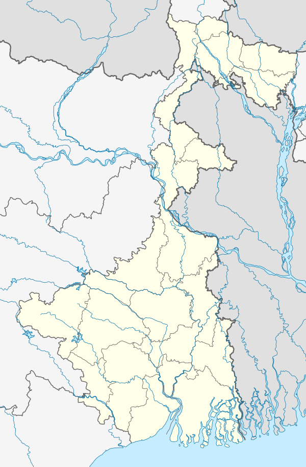 Ramkrishnapur Location in West Bengal, India 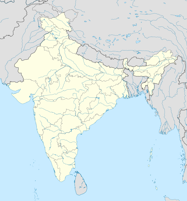 Ramkrishnapur Ramkrishnapur (India) | |
| Coordinates: 22°21′27″N 88°15′30″E / 22.3574°N 88.2583°E | |
| Country | |
| State | West Bengal |
| District | South 24 Parganas |
| CD Block | Bishnupur II |
| Area | |
| • Total | 3.61 km2 (1.39 sq mi) |
| Elevation | 9 m (30 ft) |
| Population (2011) | |
| • Total | 5,971 |
| • Density | 1,700/km2 (4,300/sq mi) |
| Languages | |
| • Official | Bengali, Hindi, English |
| Time zone | UTC+5:30 (IST) |
| PIN | 743398 |
| Telephone code | +91 33 |
| Vehicle registration | WB-01 to WB-10, WB-19 to WB-22, WB-95 to WB-99 |
| Lok Sabha constituency | Diamond Harbour |
| Vidhan Sabha constituency | Satgachhia |
| Website | www |
Ramkrishnapur is a census town under Bishnupur police station of Bishnupur II CD Block in Alipore Sadar subdivision of South 24 Parganas district in the Indian State of West Bengal. It is a part of Kolkata Urban Agglomeration.[1]
Geography
Ramkrishnapur is located at 22°21′27″N 88°15′30″E / 22.3574°N 88.2583°E. It has an average elevation of 9 metres (30 ft).
Demographics
As per 2011 Census of India, Ramkrishnapur had a total population of 5,971.
References
- ^ "Census of India". District-wise list of stautory towns. Directorate of census operations, West Bengal. Archived from the original on 2007-08-09. Retrieved 2007-09-02.
{{cite web}}: Unknown parameter|deadurl=ignored (|url-status=suggested) (help)
| Kolkata Municipal Corporation |
|
|---|---|
| Kolkata Urban Agglomeration Outside KMC |
|
This article about a location in West Bengal is a stub. You can help Wikipedia by expanding it. |