Spodnji Polšnik
Spodnji Polšnik | |
|---|---|
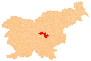
 Spodnji Polšnik Location in Slovenia | |
| Coordinates: 46°4′18″N 14°57′38″E / 46.07167°N 14.96056°E | |
| Country | |
| Traditional region | Lower Carniola |
| Statistical region | Central Sava |
| Municipality | Litija |
| Elevation | 614 m (2,014 ft) |
Spodnji Polšnik (pronounced [ˈspoːdnji ˈpoːu̯ʃnik], German: Unterbillichberg[1]) is a former settlement in the Municipality of Litija in central Slovenia. It is now part of the village of Polšnik.[2] The area is part of the traditional region of Lower Carniola and is now included with the rest of the municipality in the Central Sava Statistical Region.[3]
Geography
Spodnji Polšnik stands in the northeastern part of Polšnik, on the road to Tepe.
History
Spodnji Polšnik had a population of 133 living in 24 houses in 1900.[1] Together with neighboring Zgornji Polšnik, Spodnji Polšnik was merged into the new combined settlement of Polsnik in 1953, ending its existence as a separate settlement.[4]
References
- ^ a b Leksikon občin kraljestev in dežel zastopanih v državnem zboru, vol. 6: Kranjsko. Vienna: C. Kr. Dvorna in Državna Tiskarna. 1906. p. 94.
- ^ Savnik, Roman (1971). Krajevni leksikon Slovenije, vol. 2. Ljubljana: Državna založba Slovenije. p. 276.
- ^ Litija municipal site
- ^ Razširjeni seznam sprememb naselij: od 1948 do 1964: (poimenovanja, združevanja, odcepitve, pristavki, razglastive in ukinitve). Ljubljana: Zavod SR Slovenije za statistiko. 1965. pp. 80, 95.
External links
This article about the Municipality of Litija in Slovenia is a stub. You can help Wikipedia by expanding it. |