Tekirdağ Çorlu Airport: Difference between revisions
Content deleted Content added
INFOBOX PIC CHANGED |
No edit summary Tags: Mobile edit Mobile web edit |
||
| Line 8: | Line 8: | ||
| IATA = TEQ |
| IATA = TEQ |
||
| ICAO = LTBU |
| ICAO = LTBU |
||
| pushpin_map = Turkey Marmara#Turkey |
| pushpin_map = Turkey Marmara#Turkey#Europe |
||
| pushpin_map_caption = Location of airport in Turkey's Marmara Region |
| pushpin_map_caption = Location of airport in Turkey's Marmara Region |
||
| pushpin_label = TEQ |
| pushpin_label = TEQ |
||
Revision as of 19:17, 24 October 2021
Tekirdağ Çorlu Airport Tekirdağ Çorlu Havalimanı | |||||||||||
|---|---|---|---|---|---|---|---|---|---|---|---|
 | |||||||||||
| Summary | |||||||||||
| Airport type | Public/Civil, Military | ||||||||||
| Operator | General Directorate of State Airports Authority | ||||||||||
| Location | Çorlu | ||||||||||
| Elevation AMSL | 574 ft / 175 m | ||||||||||
| Coordinates | 41°8′18″N 27°55′9″E / 41.13833°N 27.91917°E | ||||||||||
| Website | DHMI Çorlu | ||||||||||
| Map | |||||||||||
 TEQ Location of airport in Turkey's Marmara Region  TEQ TEQ (Turkey) 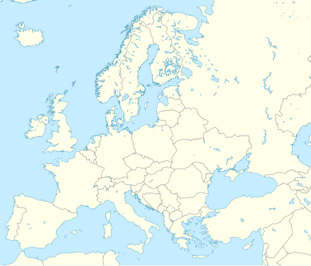 TEQ TEQ (Europe) | |||||||||||
| Runways | |||||||||||
| |||||||||||
Tekirdağ Çorlu Airport (IATA: TEQ, ICAO: LTBU) (Turkish: Tekirdağ Çorlu Havalimanı) is a military and public airport in Çorlu, a town in Tekirdağ Province, Turkey. Opened to public/civil air traffic in 1998,[1] the airport is 10.5 km (6.5 mi) east of Çorlu.[2]
Airlines and destinations
| Airlines | Destinations |
|---|---|
| AnadoluJet | Ankara |
| Pegasus Airlines | Ankara |
Statistics
Graphs are unavailable due to technical issues. There is more info on Phabricator and on MediaWiki.org. |
Annual passenger traffic at TEQ airport.
See Wikidata query.
References
- ^ http://www.corlu.dhmi.gov.tr/havaalanlari/sayfa.aspx?hv=37&mnu=3528 (in Turkish)
- ^ Newspaper Avrupa Yakası May 26, 2006 Archived July 7, 2011, at the Wayback Machine (in Turkish)
External links
Media related to Tekirdağ Çorlu Airport at Wikimedia Commons
This Turkish airport-related article is a stub. You can help Wikipedia by expanding it. |