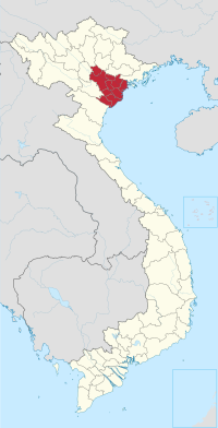
Vĩnh Bảo district
Vĩnh Bảo is a rural district (huyện) of Hai Phong, the third largest city of Vietnam.

Districts of the Red River Delta | ||
|---|---|---|
| Hanoi city |
|  |
| Haiphong city | ||
| Bắc Ninh province | ||
| Hà Nam province | ||
| Hải Dương province |
| |
| Hưng Yên province | ||
| Nam Định province | ||
| Ninh Bình province | ||
| Thái Bình province | ||
| Vĩnh Phúc province |
| |
※ denotes provincial seat. | ||
20°42′00″N 106°28′01″E / 20.700°N 106.467°E
This article about a location in Haiphong, Vietnam is a stub. You can help Wikipedia by expanding it. |