Use cases


Using trade area analysis for CPG merchant segmentation
See how CPG data teams use trade area analysis, consumer insights & spatial data to optimize point of sale networks

CARTO Driving Sustainability Impact Worldwide on Google Cloud
CARTO and Google Cloud have collaborated on sustainability projects for micro-mobility, government infrastructure, and preserving natural resources use cases.

Using Location Intelligence to combat The Great Resignation in Logistics
The Great Resignation means competition for staff is ever increasing. CARTO explores how spatial unemployment patterns can be used to tackle this.

Venue Suitability Analysis for the Eurovision Song Contest with CARTO
How to use Location Intelligence to pick the optimal venue for the UK's Eurovision Song contest with CARTO

Sistema.bio's Story: Optimizing field operations with CARTO
Understand how Sistema.bio is using CARTO to manage and plan their field operations to bring their sustainable biodigester to the world’s smallholders.

COVID, mapped: The analytics behind an epidemic
CARTO teams up with ZOE to analyze & predict the spatial patterns of COVID-19to develop a blueprint for understanding the spatial patterns of an epidemic.

Super Charged Site Selection for Electric Vehicles
CARTO partners with CITD to understand how Location Intelligence can be used to drive stronger return on investment for Electric Vehicle charging stations.

Using Spatial Analysis for 5G Rollout
Spatial analysis plays a key role in the successful deployment of 5G networks. Learn about its importance & explore how Location Intelligence is used.

Spatial Data Monetization Guide: 3 Tips for Success
Wondering if you should offer data as a product? Read this spatial data monetization guide. It includes 3 tips for developing a data monetization strategy.

5 Reasons Why OOH Professionals Are Turning to Location Intelligence
“More people in OOH advertising are incorporating GIS & location intelligence data into their media planning. Discover 5 advantages of making data-driven campaigns.”

Closing the Equity Gap with Spatial Analysis
“See how spatial analysis can be used to determine & visualize where access to resources is equitable & inequitable so we can start closing the U.S. equity gap.”
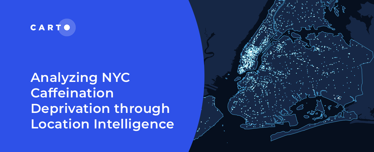
Analyzing NYC Caffeine Deprivation through Location Intelligence
“Curious about the number of coffee shops in NYC? Join us as we investigate the spatial patterns of coffee shops across the city."
Academy
How to take your GIS cloud-native with QGIS & CARTO
Modernize your GIS with QGIS & CARTO for scalable cloud-based analytics. Maximize efficiency, security, and collaboration.
10 Examples of Spatial Data & Visualizations for Telecom Analytics
Explore 10 maps using CARTO's cloud-native platform and spatial data for telecom analytics to enhance network optimization, coverage, and customer satisfaction.
Enhancing geospatial analytics with CARTO & Databricks
Unlock advanced spatial analysis in Databricks with CARTO’s Analytics Toolbox. Visualize & analyze large geospatial data inside your data warehouse.