Sperry Pasture
Paghimo ni bot Lsjbot. |
| Sperry Pasture | |
| Patag | |
| Nasod | |
|---|---|
| Estado | Montana |
| Kondado | Silver Bow County |
| Gitas-on | 2,468 m (8,097 ft) |
| Tiganos | 45°46′20″N 112°24′32″W / 45.77215°N 112.4089°W |
| Timezone | MST (UTC-7) |
| - summer (DST) | MDT (UTC-6) |
| GeoNames | 5679512 |
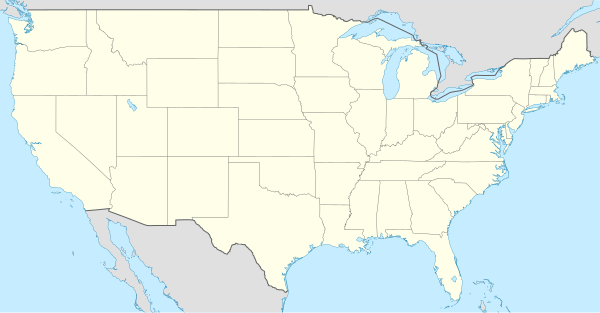
Patag ang Sperry Pasture sa Tinipong Bansa.[1] Ang Sperry Pasture nahimutang sa kondado sa Silver Bow County ug estado sa Montana, sa sentro nga bahin sa nasod, 3,000 km sa kasadpan sa ulohang dakbayan Washington, D.C.
Ang klima hemiboreal.[2] Ang kasarangang giiniton 4 °C. Ang kinainitan nga bulan Hulyo, sa 22 °C, ug ang kinabugnawan Disyembre, sa −10 °C.[3] Ang kasarangang pag-ulan 534 milimetro matag tuig. Ang kinabasaan nga bulan Mayo, sa 85 milimetro nga ulan, ug ang kinaugahan Pebrero, sa 16 milimetro.[4]
Sperry Pasture
Nahimutangan sa Sperry Pasture sa Tinipong Bansa.
Ang mga gi basihan niini
[usba | usba ang wikitext]- ↑ Sperry Pasture sa Geonames.org (cc-by); post updated 2006-01-15; database download sa 2017-02-28
- ↑ Peel, M C; Finlayson, B L. "Updated world map of the Köppen-Geiger climate classification". Hydrology and Earth System Sciences. 11: 1633–1644. doi:10.5194/hess-11-1633-2007. Retrieved 30 Enero 2016.
{{cite journal}}: CS1 maint: unflagged free DOI (link) - ↑ "NASA Earth Observations Data Set Index". NASA. Retrieved 30 Enero 2016.
- ↑ "NASA Earth Observations: Rainfall (1 month - TRMM)". NASA/Tropical Rainfall Monitoring Mission. Retrieved 30 Enero 2016.