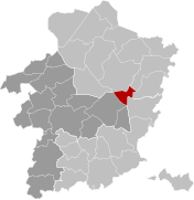
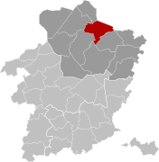
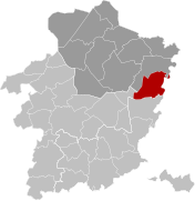
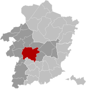
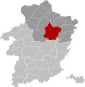
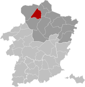
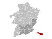
Category:Locator maps of municipalities of Limburg (Belgium)
Jump to navigation
Jump to search
Provinces of Belgium: Province of Antwerp · Brussels-Capital Region · East Flanders · Flemish Brabant · Hainaut · Limburg · Province of Liege · Province of Namur · Walloon Brabant · West Flanders
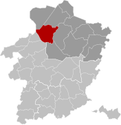
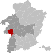
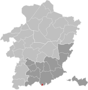
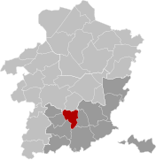
Media in category "Locator maps of municipalities of Limburg (Belgium)"
The following 98 files are in this category, out of 98 total.
-
AlkenLocatie.png 270 × 203; 5 KB
-
Alken Limburg Belgium Map.png 270 × 203; 5 KB
-
Alken Limburg Belgium Map.svg 709 × 726; 2.3 MB
-
As Limburg Belgium Map.png 270 × 203; 5 KB
-
As Limburg Belgium Map.svg 709 × 726; 2.3 MB
-
Belgium South-Limburg location map.svg 433 × 472; 71 KB
-
Beringen Limburg Belgium Map.png 270 × 203; 5 KB
-
Beringen Limburg Belgium Map.svg 709 × 726; 2.3 MB
-
Bilzen Limburg Belgium Map.png 270 × 203; 5 KB
-
Bilzen Limburg Belgium Map.svg 709 × 726; 2.3 MB
-
Bocholt Limburg Belgium Map.png 270 × 203; 5 KB
-
Bocholt Limburg Belgium Map.svg 709 × 726; 2.3 MB
-
Borgloon Limburg Belgium Map.png 270 × 203; 5 KB
-
Borgloon Limburg Belgium Map.svg 709 × 726; 2.3 MB
-
Bree Limburg Belgium Map.png 270 × 203; 5 KB
-
Bree Limburg Belgium Map.svg 709 × 726; 2.3 MB
-
Diepenbeek Limburg Belgium Map.png 270 × 203; 5 KB
-
Diepenbeek Limburg Belgium Map.svg 709 × 726; 2.3 MB
-
Dilsen-Stokkem Limburg Belgium Map.png 270 × 203; 5 KB
-
Dilsen-Stokkem Limburg Belgium Map.svg 709 × 726; 2.3 MB
-
Genk Limburg Belgium Map.png 270 × 203; 5 KB
-
Genk Limburg Belgium Map.svg 709 × 726; 2.3 MB
-
GenkLocatie.png 270 × 203; 5 KB
-
Gingelom Limburg Belgium Map.png 270 × 203; 5 KB
-
Gingelom Limburg Belgium Map.svg 709 × 726; 2.3 MB
-
Halen Limburg Belgium Map.png 270 × 203; 5 KB
-
Halen Limburg Belgium Map.svg 709 × 726; 2.3 MB
-
Ham Limburg Belgium Map.png 270 × 203; 5 KB
-
Ham Limburg Belgium Map.svg 709 × 726; 2.3 MB
-
Hamont-Achel Limburg Belgium Map.png 270 × 203; 5 KB
-
Hamont-Achel Limburg Belgium Map.svg 709 × 726; 2.3 MB
-
Hasselt Limburg Belgium Map.png 270 × 203; 5 KB
-
Hasselt Limburg Belgium Map.svg 709 × 726; 2.3 MB
-
HasseltLocatie.png 270 × 203; 4 KB
-
Hechtel-Eksel Limburg Belgium Map.png 270 × 203; 4 KB
-
Hechtel-Eksel Limburg Belgium Map.svg 709 × 726; 2.3 MB
-
Hechtel-EkselLocation.png 270 × 203; 5 KB
-
Heers Limburg Belgium Map.png 270 × 203; 5 KB
-
Heers Limburg Belgium Map.svg 709 × 726; 2.3 MB
-
Herk-de-Stad Limburg Belgium Map.png 270 × 203; 5 KB
-
Herk-de-Stad Limburg Belgium Map.svg 709 × 726; 2.3 MB
-
HerstappeLocatie.png 270 × 203; 5 KB
-
Herstappe Limburg Belgium Map.svg 709 × 726; 2.3 MB
-
Heusden-Zolder Limburg Belgium Map.png 270 × 203; 5 KB
-
Heusden-Zolder Limburg Belgium Map.svg 709 × 726; 2.3 MB
-
Hoeselt Limburg Belgium Map.png 270 × 203; 5 KB
-
Hoeselt Limburg Belgium Map.svg 709 × 726; 2.3 MB
-
Houthalen-Helchteren Limburg Belgium Map.png 270 × 203; 5 KB
-
Houthalen-Helchteren Limburg Belgium Map.svg 709 × 726; 2.3 MB
-
Kinrooi Limburg Belgium Map.png 270 × 203; 5 KB
-
Kinrooi Limburg Belgium Map.svg 709 × 726; 2.3 MB
-
Kortessem Limburg Belgium Map.png 270 × 203; 5 KB
-
Kortessem Limburg Belgium Map.svg 709 × 726; 2.3 MB
-
Lanaken Limburg Belgium Map.png 270 × 203; 5 KB
-
Lanaken Limburg Belgium Map.svg 709 × 726; 2.3 MB
-
Leopoldsburg Limburg Belgium Map.png 270 × 203; 5 KB
-
Leopoldsburg Limburg Belgium Map.svg 709 × 726; 2.3 MB
-
LimburgBGemeenten.png 270 × 203; 8 KB
-
Lommel Limburg Belgium Map.svg 709 × 726; 2.3 MB
-
Lummen Limburg Belgium Map.png 270 × 203; 5 KB
-
Lummen Limburg Belgium Map.svg 709 × 726; 2.3 MB
-
Maaseik Limburg Belgium Map.svg 709 × 726; 2.3 MB
-
Maasmechelen Limburg Belgium Map.png 270 × 203; 5 KB
-
Maasmechelen Limburg Belgium Map.svg 709 × 726; 2.3 MB
-
Map of Sint Truiden in belgium-viol-reddot-t.png 399 × 335; 10 KB
-
Meeuwen-Gruitrode Limburg Belgium Map.png 270 × 203; 4 KB
-
Meeuwen-Gruitrode Limburg Belgium Map.svg 709 × 726; 2.35 MB
-
Municipalities Limburg Belgium Map - Number.svg 709 × 726; 2.47 MB
-
Municipalities Limburg Belgium Map.svg 709 × 726; 2.3 MB
-
Neerpelt Limburg Belgium Map.png 270 × 203; 5 KB
-
Neerpelt Limburg Belgium Map.svg 709 × 726; 2.35 MB
-
Nieuwerkerken Limburg Belgium Map.png 270 × 203; 5 KB
-
Nieuwerkerken Limburg Belgium Map.svg 709 × 726; 2.3 MB
-
Opglabbeek Limburg Belgium Map.png 270 × 203; 5 KB
-
Opglabbeek Limburg Belgium Map.svg 709 × 726; 2.35 MB
-
Oudsbergen Limburg Belgium Map.svg 709 × 726; 2.3 MB
-
Overpelt Limburg Belgium Map.svg 709 × 726; 2.35 MB
-
Peer Limburg Belgium Map.png 270 × 203; 5 KB
-
Peer Limburg Belgium Map.svg 709 × 726; 2.3 MB
-
Pelt Limburg Belgium Map.png 270 × 203; 5 KB
-
Pelt Limburg Belgium Map.svg 709 × 726; 2.3 MB
-
Riemst Limburg Belgium Map.png 270 × 203; 5 KB
-
Riemst Limburg Belgium Map.svg 709 × 726; 2.3 MB
-
Sint-Truiden Limburg Belgium Map.png 270 × 203; 5 KB
-
Sint-Truiden Limburg Belgium Map.svg 709 × 726; 2.3 MB
-
Tessenderlo Limburg Belgium Map.png 270 × 203; 5 KB
-
Tessenderlo Limburg Belgium Map.svg 709 × 726; 2.3 MB
-
Tongeren Limburg Belgium Map.png 270 × 203; 5 KB
-
Tongeren Limburg Belgium Map.svg 709 × 726; 2.3 MB
-
Voeren Limburg Belgium Map.png 270 × 203; 5 KB
-
Voeren Limburg Belgium Map.svg 709 × 726; 2.3 MB
-
Wellen Limburg Belgium Map.png 270 × 203; 5 KB
-
Wellen Limburg Belgium Map.svg 709 × 726; 2.3 MB
-
Zonhoven Limburg Belgium Map.png 270 × 203; 5 KB
-
Zonhoven Limburg Belgium Map.svg 709 × 726; 2.3 MB
-
Zuid-Limburg Belgium Map.png 270 × 203; 161 KB
-
Zutendaal Limburg Belgium Map.png 270 × 203; 5 KB
-
Zutendaal Limburg Belgium Map.svg 709 × 726; 2.3 MB


