Águas Claras, Federal District
This article needs additional citations for verification. (April 2017) |
You can help expand this article with text translated from the corresponding article in Portuguese. (January 2017) Click [show] for important translation instructions.
|
Águas Claras | |
|---|---|
| Região Administrativa de Águas Claras Administrative Region of Águas Claras | |
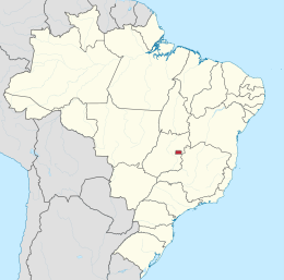
| Country | |
| Region | Central-West |
| State | |
| Founded | April 8, 2003 |
| Government | |
| • Regional administrator | Carlos Sidney Oliveira |
| Area | |
| • Total | 31.5 km2 (12.2 sq mi) |
| Population (2010) | |
| • Total | 135.685[1] |
| • Density | 430.7/km2 (1,116/sq mi) |
| Time zone | UTC-3 (UTC-3) |
| • Summer (DST) | UTC-2 (UTC-2) |
| Area code | +55 61 |
| Website | www.aguasclaras.df.gov.br |
Águas Claras is an administrative region in the Federal District, Brazil.
History
In December 1992, District Law No. 385 authorized the implementation of Águas Claras, then a neighborhood in Taguatinga; its occupation plan was approved later that same year.[citation needed] Designed by architect and urbanist Paulo Zimbres, Águas Claras began construction shortly afterwards. It was separated from Taguatinga as the Federal District's twentieth administrative region on May 6 2003, through District Law No. 3153.[citation needed]
The neighborhood was notable for its accelerated growth, with large and diversified real estate developments.[citation needed]
Águas Claras has an area of approximately 31.5 km² [citation needed] and a population of just over 135 thousand. [1]
Etymology
Its name is reference to the stream within the region which flows into Lake Paranoá.[citation needed]
See also
References
- ^ a b "Pesquisa Distrital por Amostra de Domicílios - 2010/2011" (PDF) (in Portuguese). Codeplan. Retrieved 2013-04-09.
External links
15°49′19″S 47°59′36″W / 15.82194°S 47.99333°W
This Federal District, Brazil geography article is a stub. You can help Wikipedia by expanding it. |