Maarssen
Maarssen | |
|---|---|
Town and former municipality | |
 | |
 Flag  Coat of arms | |
 | |
| Country | Netherlands |
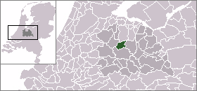
| Province | Utrecht |
| Municipality | Stichtse Vecht |
| Area (2006) | |
| • Total | 30.86 km2 (11.92 sq mi) |
| • Land | 27.20 km2 (10.50 sq mi) |
| • Water | 3.66 km2 (1.41 sq mi) |
| Population (1 January, 2007) | |
| • Total | 39,363 |
| • Density | 1,447/km2 (3,750/sq mi) |
| Source: CBS, Statline. | |
| Time zone | UTC+1 (CET) |
| • Summer (DST) | UTC+2 (CEST) |
| Website | www.maarssen.nl |
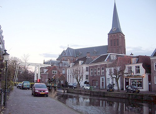
Maarssen () is a town and former municipality in the Netherlands, in the province of Utrecht, along the river Vecht. It lies in an area called the Vechtstreek.
On January 1, 2011 Maarsen merged with Breukelen and Loenen to Stichtse Vecht.
Population centres
The former municipality of Maarssen consisted of the following cities, towns, villages and/or districts:
Transportation
References
- Statistics are taken from the SDU Staatscourant
External links
Wikimedia Commons has media related to Maarssen.
This Utrecht location article is a stub. You can help Wikipedia by expanding it. |