Mircəlal
Mircəlal | |
|---|---|
Municipality | |
 Mircəlal | |
| Coordinates: 39°50′36″N 48°38′42″E / 39.84333°N 48.64500°E | |
| Country | |
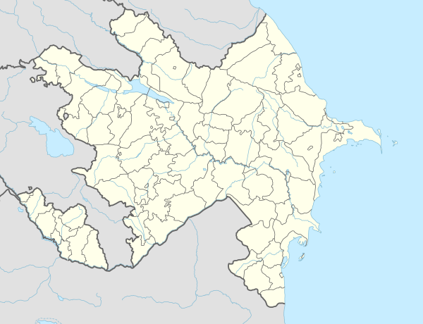
| Rayon | Saatly |
| Population | |
| • Total | 4,123 |
| Time zone | UTC+4 (AZT) |
| • Summer (DST) | UTC+5 (AZT) |
Mircəlal (known as Kirovkənd or Kirovka until 1991)[1] is a village and municipality in the Saatly Rayon of Azerbaijan. It has a population of 4,123.
References
[edit]- ^ "Azərbaycan Respublikasının Bakı, Gəncə və Sumqayıt şəhərlərinin, Abşeron, Ağdaş, Ağsu, Ağcabədi, Balakən, Bərdə, Beyləqan, Vartaşen, Quba, Qutqaşen, Daşkəsən, İmişli, Yevlax, Kəlbəcər, Kürdəmir, Gədəbəy, Goranboy, Laçın, Lerik, Lənkəran, Mirbəşir, Puşkin". Archived from the original on 2012-03-15. Retrieved 2012-07-24.

This Saatly Rayon location article is a stub. You can help Wikipedia by expanding it. |