[go: nahoru, domu]

Jump to content

Hirzel Pass

Coordinates: 47°12′53.05″N 8°36′41.20″E / 47.2147361°N 8.6114444°E / 47.2147361; 8.6114444
From Wikipedia, the free encyclopedia

This is the current revision of this page, as edited by Citation bot (talk | contribs) at 12:06, 8 March 2024 (Altered url. URLs might have been anonymized. Add: authors 1-1. Removed parameters. Some additions/deletions were parameter name changes. | Use this bot. Report bugs. | Suggested by Jay8g | Linked from User:Jay8g/sandbox | #UCB_webform_linked 1042/2764). The present address (URL) is a permanent link to this version.

(diff) ← Previous revision | Latest revision (diff) | Newer revision → (diff)
Hirzel Pass
Hirzel Pass
Elevation672 m (2,205 ft)
LocationSwitzerland
RangeAlps
Coordinates47°12′53.05″N 8°36′41.20″E / 47.2147361°N 8.6114444°E / 47.2147361; 8.6114444
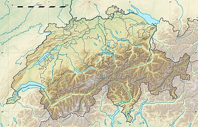
Hirzel Pass is located in Canton of Zürich
Hirzel Pass
Hirzel Pass
Location of Hirzel Pass
Hirzel Pass is located in Canton of Zug
Hirzel Pass
Hirzel Pass
Hirzel Pass (Canton of Zug)
Hirzel Pass is located in Switzerland
Hirzel Pass
Hirzel Pass
Hirzel Pass (Switzerland)
Hirzel Pass is located in Alps
Hirzel Pass
Hirzel Pass
Hirzel Pass (Alps)
Map

Hirzel Pass, elevation 672 metres (2,205 ft), is a mountain pass in the Alps between the cantons of Zürich and Zug in Switzerland. It connects Wädenswil and Sihlbrugg, and the summit is in the municipality of Hirzel.[1]

References

[edit]
  1. ^ Arnet, Beat; Niquille, Pascal (1986). The Swiss Canton of Zug. Union Bank of Switzerland, Department of Economic Research. p. 13.