Kamni Vrh, Litija
Kamni Vrh | |
|---|---|
 Kamni Vrh Location in Slovenia | |
| Coordinates: 45°59′45.04″N 14°56′40.14″E / 45.9958444°N 14.9444833°E | |
| Country | |
| Traditional region | Lower Carniola |
| Statistical region | Central Sava |
| Municipality | Litija |
| Area | |
| • Total | 1.2 km2 (0.5 sq mi) |
| Elevation | 473.6 m (1,553.8 ft) |
| Population (2002) | |
| • Total | 41 |
| [1] | |
Kamni Vrh (pronounced [ˈkaːmni ˈʋəɾx]; German: Steinberg[2]) is a settlement west of Gabrovka in the Municipality of Litija in central Slovenia. The area is part of the traditional region of Lower Carniola. It is now included with the rest of the municipality in the Central Sava Statistical Region; until January 2014 the municipality was part of the Central Slovenia Statistical Region.[3]
References
[edit]- ^ Statistical Office of the Republic of Slovenia
- ^ Leksikon občin kraljestev in dežel zastopanih v državnem zboru, vol. 6: Kranjsko. Vienna: C. Kr. Dvorna in Državna Tiskarna. 1906. p. 94.
- ^ Municipality of Litija website
External links
[edit]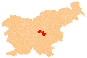
This article about the Municipality of Litija in Slovenia is a stub. You can help Wikipedia by expanding it. |