Pleurtuit
Pleurtuit
Pleurestud (Breton) | |
|---|---|
 Chateau of Montmarin | |
 Flag  Coat of arms | |
Location of Pleurtuit  | |
 Pleurtuit 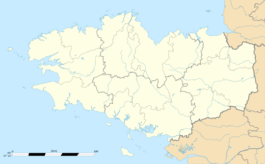 Pleurtuit | |
| Coordinates: 48°35′N 2°04′W / 48.58°N 2.06°W | |
| Country | France |
| Region | Brittany |
| Department | Ille-et-Vilaine |
| Arrondissement | Saint-Malo |
| Canton | Saint-Malo-2 |
| Intercommunality | Côte d'Emeraude |
| Government | |
| • Mayor (2020–2026) | Sophie Bezier[1] |
| Area 1 | 29.67 km2 (11.46 sq mi) |
| Population (2021)[2] | 6,953 |
| • Density | 230/km2 (610/sq mi) |
| Time zone | UTC+01:00 (CET) |
| • Summer (DST) | UTC+02:00 (CEST) |
| INSEE/Postal code | 35228 /35730 |
| Elevation | 0–92 m (0–302 ft) |
| 1 French Land Register data, which excludes lakes, ponds, glaciers > 1 km2 (0.386 sq mi or 247 acres) and river estuaries. | |
Pleurtuit (French pronunciation: [plœʁtɥi]; Breton: Pleurestud) is a commune in the Ille-et-Vilaine department of Brittany in northwestern France.
Population
Inhabitants of Pleurtuit are called in French pleurtuisiens.
| Year | Pop. | ±% p.a. |
|---|---|---|
| 1968 | 3,776 | — |
| 1975 | 3,764 | −0.05% |
| 1982 | 4,165 | +1.46% |
| 1990 | 4,428 | +0.77% |
| 1999 | 4,547 | +0.30% |
| 2007 | 5,455 | +2.30% |
| 2012 | 6,256 | +2.78% |
| 2017 | 6,806 | +1.70% |
| Source: INSEE[3] | ||
See also
References
- ^ "Répertoire national des élus: les maires". data.gouv.fr, Plateforme ouverte des données publiques françaises (in French). 9 August 2021.
- ^ "Populations légales 2021" (in French). The National Institute of Statistics and Economic Studies. 28 December 2023.
- ^ Population en historique depuis 1968, INSEE
External links
Wikimedia Commons has media related to Pleurtuit.
- Official website of Pleurtuit (in French)
- Base Mérimée: Search for heritage in the commune, Ministère français de la Culture. (in French)
- Mayors of Ille-et-Vilaine Association (in French)
| International | |
|---|---|
| National | |
This Ille-et-Vilaine geographical article is a stub. You can help Wikipedia by expanding it. |