Shamarin
Appearance
Shamarin
شمارين | |
|---|---|
Village | |
| Coordinates: 36°39′33″N 37°07′45″E / 36.6592°N 37.1292°E | |
| Country | |
| Governorate | Aleppo |
| District | Azaz |
| Subdistrict | Azaz |
| Population (2004)[1] | 506 |
| Time zone | UTC+2 (EET) |
| • Summer (DST) | UTC+3 (EEST) |
| Geocode | C1566 |
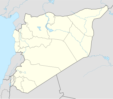
Shamarin (Arabic: شمارين; Template:Lang-tr) is a village in northern Aleppo Governorate, northwestern Syria. It is located on the Queiq Plain, 10 kilometres (6.2 mi) northeast of Azaz, some 45 km (28 mi) north of the city of Aleppo, and less than 1 km (0.62 mi) south of the border with the Turkish province of Kilis. The village is inhabited by Turkmen.[2]
The village administratively belongs to Nahiya Azaz in Azaz District. Nearby localities include Shamarikh 1.5 km (0.93 mi) to the south and Tulayl ash-Sham 2 km (1.2 mi) to the southwest. In the 2004 census, Shamarin had a population of 506.[1]
References
- ^ a b "2004 Census Data for Nahiya Azaz" (in Arabic). Syrian Central Bureau of Statistics. Also available in English: UN OCHA. "2004 Census Data". Humanitarian Data Exchange.
- ^ Suriye'de Değişimin Ortaya Çıkardığı Toplum: Suriye Türkmenleri (PDF) (Report) (in Turkish). ORSAM. 14 November 2011. p. 13. Archived from the original (PDF) on 2015-10-05. Retrieved 14 April 2023.


