Uttar Durgapur
Uttar Durgapur | |
|---|---|
Census Town | |
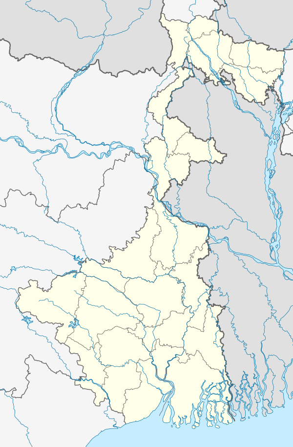 Uttar Durgapur Location in West Bengal 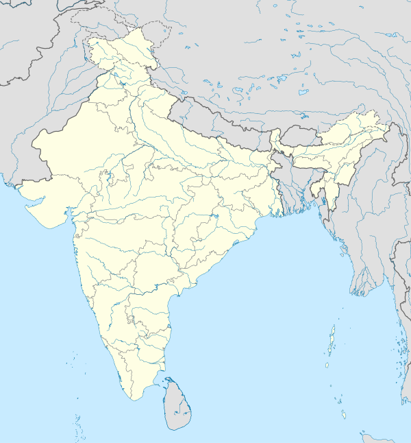 Uttar Durgapur Location in India | |
| Coordinates: 22°11′15″N 88°25′47″E / 22.1876°N 88.4296°E | |
| Country | |
| State | West Bengal |
| District | South 24 Parganas |
| CD block | Jaynagar I |
| Area | |
| • Total | 1.10 km2 (0.42 sq mi) |
| Elevation | 8 m (26 ft) |
| Population (2011) | |
| • Total | 5,723 |
| • Density | 5,200/km2 (13,000/sq mi) |
| Languages | |
| • Official | Bengali, English |
| Time zone | UTC+5:30 (IST) |
| PIN | 743337 |
| Telephone code | +91 3218 |
| Vehicle registration | WB-01 to WB-10, WB-19 to WB-22, WB-95 to WB-99 |
| Lok Sabha constituency | Jaynagar (SC) |
| Vidhan Sabha constituency | Jaynagar (SC) |
| Website | www |
Uttar Durgapur is a census town under Jaynagar police station of Jaynagar I CD Block in Baruipur subdivision of South 24 Parganas district in the Indian State of West Bengal.
Geography

5miles
M: municipal city/ town, CT: census town, R: rural/ urban centre, N: neighbourhood
Owing to space constraints in the small map, the actual locations in a larger map may vary slightly
Location
Uttar Durgapur is located at 22°11′15″N 88°25′47″E / 22.1876°N 88.4296°E. It has an average elevation of 8 metres (26 ft).[1]
Kalikapur Barasat, Raynagar, Uttarparanij, Baharu, Alipur and Uttar Durgapur form a cluster of census towns in Jaynagar I CD block. [2]
Demographics
As per 2011 Census of India, Uttar Durgapur had a total population of 5,723, of which 2,937 (51%) were males and 2,786 (49%) were females. Population below 6 years was 727. The total number of literates was 4,191 (83.89 % of the population over 6 years).[3]
As of 2001 Census of India, Uttar Durgapur had a total population of 5,062. Males constitute 52% of the population and females 48%. It has an average literacy rate of 67%, higher than the national average of 59.5%: male literacy is 74%, and female literacy is 60%. 11% of the population is under 6 years of age.[4]
Infrastructure
As per the District Census Handbook 2011, Uttar Durgapur covered an area of 1.1 km2. Among the physical aspects, there is a railway station at Jaynagar Majilpur 3 km away. Among the civic amenities, it had 28 km roads with open drains, the protected water supply involved overhead tank. It had 580 domestic electric connections. Among the medical facilities it had was 1 dispensary/ health centre. Among the educational facilities It had were 3 primary schools, the nearest secondary school, senior secondary school at Jaynagar Majilpur 3 km away, the nearest general degree college at Dakshin Barasat 6 km away. Among the social, recreational and culturl facilities, it had 1 public library and 1 reading room. Three important commodities it produced were sari&lungi, medicines, moulding .[5]
Transport
Uttar Durgapur is on State Highway 1 (locally popular as Rudranagar-Jibantala Highway).[6].
Jaynagar Majilpur and Baharu railway stations are located nearby.[6]
Healthcare
Padmerhat Rural Hospital at with 30 beds at Dakshin Barasat is the major government medical facility in Jaynagar I CD block.[7]
References
- ^ "Yahoo maps of Uttar Durgapur". Yahoo maps. Retrieved 28 November 2008.
- ^ "Census of India 2011, West Bengal, District Census Handbook, South Twentyfour Parganas, Series – 20, Part XII-A, Village and Town Directory" (PDF). Page 699 - Map of Jaynagar I CD block. Directorate of Census Operations, West Bengal. Retrieved 21 October 2019.
- ^ "C.D. Block Wise Primary Census Abstract Data(PCA)". 2011 census: West Bengal – District-wise CD Blocks. Registrar General and Census Commissioner, India. Retrieved 26 April 2016.
- ^ "Census of India 2001: Data from the 2001 Census, including cities, villages and towns (Provisional)". Census Commission of India. Archived from the original on 16 June 2004. Retrieved 1 November 2008.
- ^ "District Census Handbook South Twenty Four Parganas, Census of India 2011, Series 20, Part XII A" (PDF). Section II Town Directory, Pages 999-1006 Statement I: Status and Growth History, Pages 1006-1010; Statement II: Physical Aspects and Location of Towns, Pages 1010-1015; Statement III: Civic and other Amenities, Pages 1015-1019; Statement IV: Medical Facilities 2009, Pages 1019-1027 Statement V: Educational, Recreational and Cultural Facilities, Pages 1027- 1029:Statement VI:Industry and Banking. Directorate of Census Operations V, West Bengal. Retrieved 28 November 2019.
- ^ a b Google maps
- ^ "Health & Family Welfare Department" (PDF). Health Statistics – Rural Hospitals. Government of West Bengal. Retrieved 29 November 2019.
| Kolkata Municipal Corporation |
|
|---|---|
| Kolkata Urban Agglomeration Outside KMC |
|
This article about a location in West Bengal is a stub. You can help Wikipedia by expanding it. |