Uttar Raypur
Uttar Raypur | |
|---|---|
Town | |
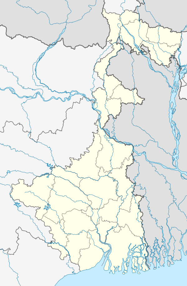 Uttar Raypur Location in West Bengal, India 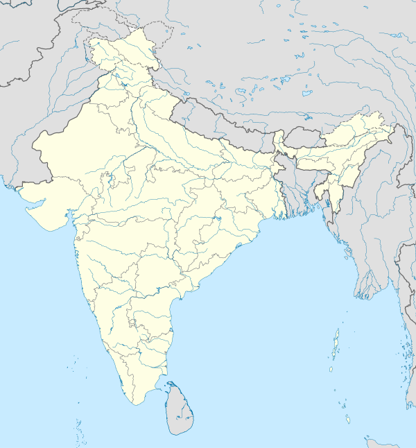 Uttar Raypur Uttar Raypur (India) | |
| Coordinates: 22°28′11″N 88°12′00″E / 22.4698°N 88.1999°E | |
| Country | |
| State | West Bengal |
| District | South 24 Parganas |
| CD Block | Budge Budge I |
| Area | |
| • Total | 5.32 km2 (2.05 sq mi) |
| Elevation | 9 m (30 ft) |
| Population (2011) | |
| • Total | 23,084 |
| • Density | 4,300/km2 (11,000/sq mi) |
| Languages | |
| • Official | Bengali, Hindi, English |
| Time zone | UTC+5:30 (IST) |
| PIN | 743389 |
| Telephone code | +91 33 |
| Vehicle registration | WB-01 to WB-10, WB-19 to WB-22, WB-95 to WB-99 |
| Lok Sabha constituency | Diamond Harbour |
| Vidhan Sabha constituency | Budge Budge |
| Website | www |
Uttar Raypur is a town in Budge Budge I CD Block of South 24 Parganas district in the Indian State of West Bengal. Budge Budge police station serves this town.[1]
Geography
Uttar Raypur town is located at 22°28′11″N 88°12′00″E / 22.4698°N 88.1999°E.[2] It has an average elevation of 9 metres (30 ft).
Demographics
As per 2011 Census of India Uttar Raypur town had a total population of 23,084, of which 11,762 (51%) were males and 11,322 (49%) were females. Population below 6 years was 2,310. The total number of literates was 17,522 (84.35 % of the population over 6 years).[3]
As of 2001[update] India census,[4] Uttar Raypur town had a population of 20,382. Males constitute 52% of the population and females 48%. It has an average literacy rate of 70%, higher than the national average of 59.5%: male literacy is 76%, and female literacy is 65%. 12% of the population is under 6 years of age.
References
- ^ "Census of India". District-wise list of stautory towns. Directorate of census operations, West Bengal. Archived from the original on 9 August 2007. Retrieved 2 September 2007.
- ^ "Yahoo maps of Uttar Raypur". Yahoo maps. Retrieved 29 November 2008.
- ^ "C.D. Block Wise Primary Census Abstract Data(PCA)". 2011 census: West Bengal – District-wise CD Blocks. Registrar General and Census Commissioner, India. Retrieved 26 April 2016.
- ^ "Census of India 2001: Data from the 2001 Census, including cities, villages and towns (Provisional)". Census Commission of India. Archived from the original on 16 June 2004. Retrieved 1 November 2008.
| Kolkata Municipal Corporation |
|
|---|---|
| Kolkata Urban Agglomeration Outside KMC |
|