A33 autoroute
 | |
|---|---|
| Route information | |
| Part of | |
| Length | 26.8 km (16.7 mi) |
| Location | |
| Country | France |
| Highway system | |
| |
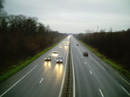
The A33 autoroute is a 26.8 kilometres (16.7 mi) long motorway in northeastern France. It forms part of European route E23.
Route
[edit]The road is only 27 km (17 mi) long and connects Nancy to Dombasle-sur-Meurthe. After Lunéville the road becomes the N333 to Blâmont. The road forms an upgrade of the N4 which is now called the N4a.
Junctions
[edit]This article contains a bulleted list or table of intersections which should be presented in a properly formatted junction table. (December 2021) |
| Exit/Junction | Destination |
| Exchange A31-N4-A33 Autoroute starts with junction on the | |
| (Vandoeuvre-les-Nancy) Towns served: Nancy, Neuves-Maisons | |
| Exchange A330-A33 Autoroute has junction with the | |
| (Fleville-devant-Nancy) Towns served: Fleville, Lupcourt | |
| (St-Nicolas) Towns served: St-Nicolas-de-Port | |
| (Rosières) Towns served: Rosières-aux-Salines, Damelevieres | |
| (Dombasle) Towns served: Dombasle-sur-Meurthe | |
| (Hudiviller) Towns served: Hudiviller | |
| The road then becomes the dual carriageway | |
Speeds
[edit]Its speed limit is:
- Lunéville-Laxou: 110 km/h from the motorway junction with the A33
- Laxou-Vandœuvre: 110 km/h
- Vandœuvre-A330: 90 km/h
- A330-Lunéville: 110 km/h
Since 1 October 2009, 3 months after the A31 and at the same time as the A33, speed limits have been revised downwards. The only 130 km/h section between the A33 and Hudiviller has been lowered to 110 km/h.
At the end of 2016, variable message signs were installed between the Vandoeuvre University Hospital area and the A31 to vary speeds depending on traffic.
References
[edit]External links
[edit]| Metropolitan France |
|  |
|---|---|---|
| Overseas France | ||
| Planned routes | ||
| Old or decommissioned routes | ||
| Authority control databases: Geographic |
|---|
This article about road transport in France is a stub. You can help Wikipedia by expanding it. |