Tinderry
| Tinderry New South Wales | |||||||||||||||
|---|---|---|---|---|---|---|---|---|---|---|---|---|---|---|---|
 Tinderry Nature Reserve | |||||||||||||||
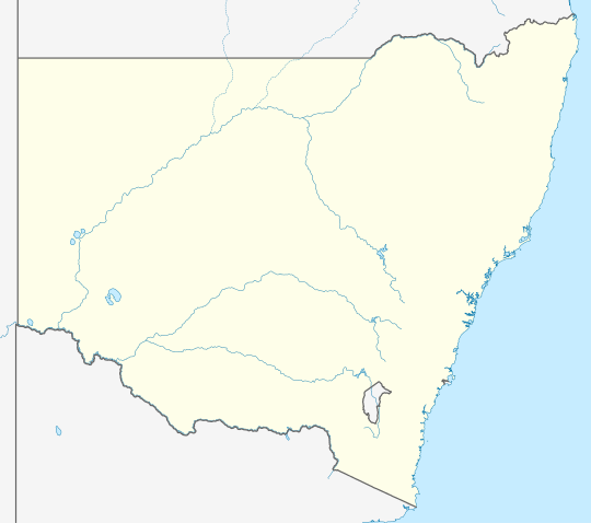 Tinderry Location in New South Wales | |||||||||||||||
| Coordinates | 35°41′57″S 149°19′02″E / 35.69917°S 149.31722°E | ||||||||||||||
| Population | 66 (2016 census)[1] | ||||||||||||||
| Postcode(s) | 2620 | ||||||||||||||
| Location | 70 km (43 mi) S of Canberra | ||||||||||||||
| LGA(s) | Snowy Monaro Regional Council | ||||||||||||||
| Region | Monaro | ||||||||||||||
| County | Beresford | ||||||||||||||
| Parish |
| ||||||||||||||
| State electorate(s) | Monaro | ||||||||||||||
| Federal division(s) | Eden-Monaro | ||||||||||||||
| |||||||||||||||
Tinderry is a locality in the Snowy Monaro Region, New South Wales, Australia.[2][3] It lies to the east of Michelago and South West of Captains Flat. At the 2016 census, it had a population of 66.[1] The western part of the locality lies on the Tinderry Range, which includes Tinderry Peak (1,619 m (5,312 ft)) and Tinderry Twin Peak. A large part of the mountainous terrain forms Tinderry Nature Reserve. Further east the terrain is more open and includes grazing country and the small settlement of Little Tinderry. A public school was located at Little Tinderry from 1899 to 1913, generally described as "half-time", but "provisional" in 1900 and early 1901.[4]
References
[edit]- ^ a b Australian Bureau of Statistics (27 June 2017). "Tinderry". 2016 Census QuickStats. Retrieved 17 May 2018.
- ^ "Jingera". Geographical Names Register (GNR) of NSW. Geographical Names Board of New South Wales. Retrieved 17 May 2018.
- ^ "Tinderry". OpenStreetMap. Retrieved 17 May 2018.
- ^ "Little Tinderry Public School in the School history database search". New South Wales Department of Education. Retrieved 28 December 2017.
This Southern Tablelands geography article is a stub. You can help Wikipedia by expanding it. |